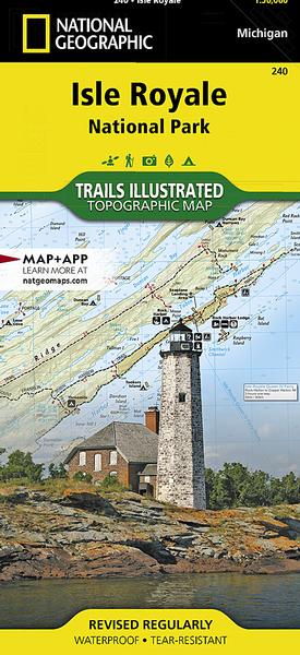


• Waterproof • Tear-Resistant • Topographic Map
A rugged and isolated island on Lake Superior, Isle Royale offers unparalleled opportunities for hiking, backpacking, boating, paddling, and scuba diving in solitude, far from the sights and sounds of civilization. National Geographic's Trails Illustrated map of Isle Royale National Park delivers unmatched detail and valuable information to assist you in your exploration of this remote wilderness. Created in partnership with local land management agencies, this expertly researched map features key areas of interest including Passage Island, Rock Harbor, Windigo, and many shipwreck sites.
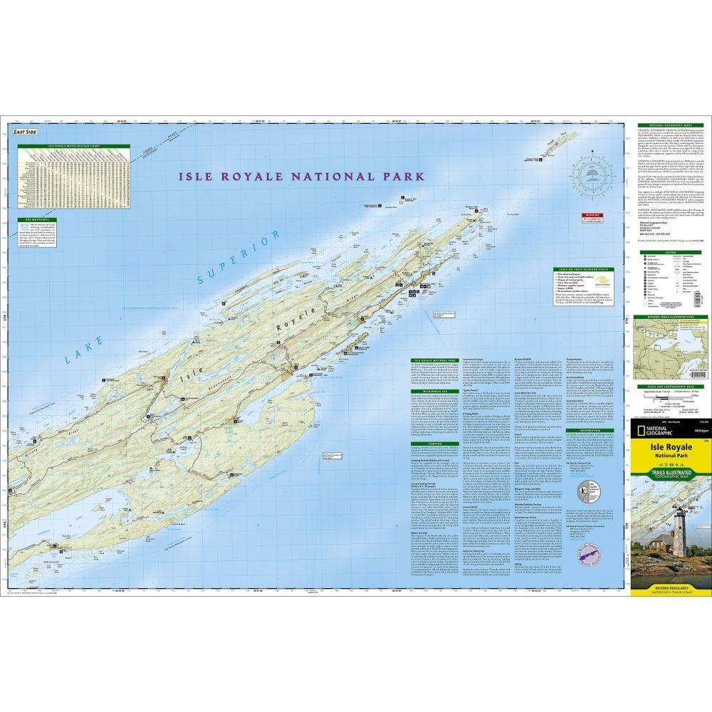
Whether day hiking or backpacking to remote campsites, the map's clearly marked trails with mileage between intersections will help you choose the route that's right for you. The map base includes contour lines and elevations for summits and lakes, as well as soundings of Lake Superior. Boaters will appreciate the handy water mileage chart. Recreation features are clearly marked, including campgrounds, interpretive trails, lighthouses, lookout towers, ferry routes, docks, and seaplane anchorages. A variety of helpful information about camping, fishing, and boating in the region is included as well.
Every Trails Illustrated map is printed on "Backcountry Tough" waterproof, tear-resistant paper. A full UTM grid is printed on the map to aid with GPS navigation.
Other features found on this map include: Blake Point, Cumberland Point, Feldtmann Ridge, Isle Royale, Siskiwit Bay, Sugar Mountain.
Specifications:
Folded Size 4.25" x 9.25"
Flat Size 37.75" x 25.5"
Scale 1:50,000
Copyright Date 2019
Weight Oz 3
Dim Thickness No
Page Count 2
 5.0 Stars
JJ - May 20, 2021
This was a must have for any type of adventure on Isle Royale. I used this primarily for leading kayak tours out of Copper Harbor. Great reference for travel by water or trail. Accurate distances take the guess work out of trip planning. Campsites, shipwrecks, lookout points and of course trails are all marked on this map. The Nat Geo maps are all weatherproof and can handle many years of use without tearing.
5.0 Stars
JJ - May 20, 2021
This was a must have for any type of adventure on Isle Royale. I used this primarily for leading kayak tours out of Copper Harbor. Great reference for travel by water or trail. Accurate distances take the guess work out of trip planning. Campsites, shipwrecks, lookout points and of course trails are all marked on this map. The Nat Geo maps are all weatherproof and can handle many years of use without tearing.